Written by Daniel Neilson
Photography by John Summerton
Produced in partnership with Washington State Tourism
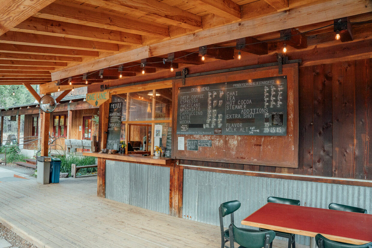
A 2024 edition of the bimonthly magazine Gold Prospectors lies, heavily thumbed, on a plastic table at Prospectors Country Coffee. We’ve stopped at an espresso stand in Marblemount, population 286, at the western edge of Washington’s North Cascades.
Coverlines from the edition read ‘Lightweight mining’ and ‘A complete guide to rock tumbling’. For some reason, a square had been cut out of the cover; maybe there had been a coupon on the inside. From the coffee stand’s window, we order coffee and two everything bagels with cream cheese.
Marblemount is the last place of any significance before heading into North Cascades National Park. It’s the last place for a while to get a permit, a coffee, and a copy of Gold Prospectors magazine. This region was opened up in the 1850s after gold was found in the Skagit River. But an article on the National Park Service website about gold mining in the region starts with a spoiler: ‘The story of mining in the North Cascades is one of broken dreams.’
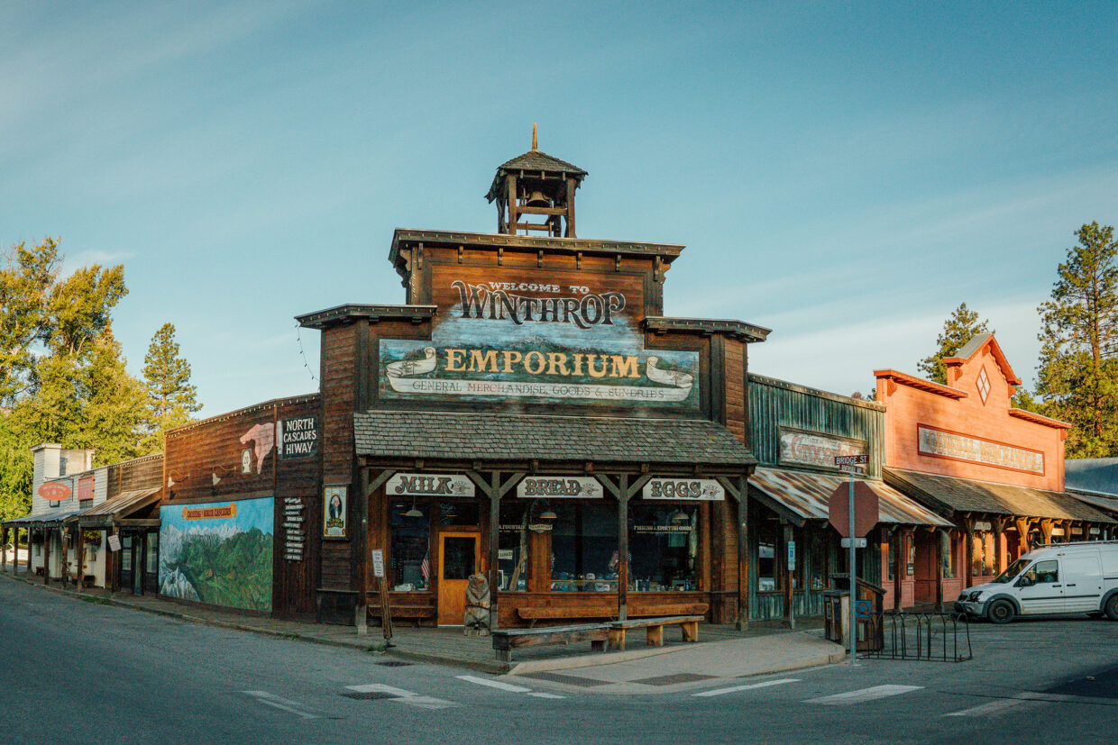
By 1880, 30 years after it had begun, the rush here was over, but many people remained, and their descendants are still on the names above shops, notably in Winthrop, a town that retains its Old West style. Between us and Winthrop, however, is the North Cascades National Park: 2,000km2 of designated wilderness. We’re looking for wildlife and to learn about this mountainous region, or rather, we are looking for the people who make this land their home, who know it best. We have a date with Steve Bondi of Hike Cascades who will show us some of the most interesting places to visit. We are to meet him at Mazama Store, home of a Sea Salt Baguette, famous enough that three people earlier in the trip had already told us not to miss them when we said we were heading to the North Cascades.
Immediately out of Marblemount, the mountains rise around the valley road. We’re travelling on the North Cascades Scenic Highway – not, in this case, an oxymoron. Before Mazama, we stop at the bright turquoise Diablo Lake. The colour, we learn, is due to suspended rock particles, pleasingly called glacial flour, that refract the light. Geologists here would describe the lake as in the Pacific Silver Fir Forest, with an elevation of around 600m where we stand. But we can see all the ecological zones defined by the national park from that viewpoint: the Mountain Hemlock Forest (1,200–1,700m), Subalpine (1,550–2,100m) and Alpine (2,000 to 2,700m+). It’s a vast, mountainous area that is home to grey wolves, grizzly bears, and Canada lynx – all threatened – as well as wolverines, river otters, cougars, and bobcats. Fishers (Pekania pennanti), cute little beasts belonging to the weasel family, have been reintroduced, once diminished for their fur.
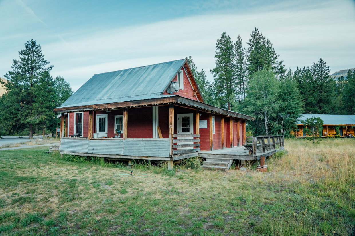
Mazama Store, right next door to Goat’s Beard Mountain Supplies, is busy when we meet Steve. We say a quick hello and get in queue for this Sea Salt Baguette and a coffee. I wouldn’t say it’s worth travelling here just to get this risen dough, but if you come here and don’t, well, I don’t think anyone would let you leave. It’s very, very good; let’s leave it there.
We jump in Steve’s Hike Cascades minibus and set up towards Hart’s Pass, the highest drivable point in the state. It’s a long, windy, and bumpy road, but the payoff is remarkable. Steve lives in Winthrop and has been exploring these mountains for decades. He’s a biologist and naturalist and worked as a stewardship director for the Methow Conservancy; his wife is the director of the educational garden programme for public schools, and his kids are also keen outdoorsy types, all with an interest in conservation. It’s hard not be to out here.
Steve is an enthusiastic encyclopedia of the North Cascades. Hart’s Pass was built in 1893 to service the gold and silver mines. More than 1,000 people lived along this road, much of it built into the mountain with a vertiginous drop below. And for a while in 1894, prospectors thought that they’d found the Eureka Lode, the Glory Hole. Barron became a bustling settlement; there was a store and a tavern, but it quickly became a ghost town when the veins of gold disappeared. Prospectors still regularly visit, in the hope of finding what thousands before them didn’t. More likely, however, you’ll find hikers – the Pacific Crest Trail crosses Hart’s Pass – wildlife spotters and geologists here to witness the clear effects of the last ice age.
‘The last ice age ended about 15,000 years ago, but it lasted for roughly 50,000 years before that,’ Steve explains as we reach the timberline. ‘It was this big advance‑and‑recede, advance‑and‑recede of ice from Canada.
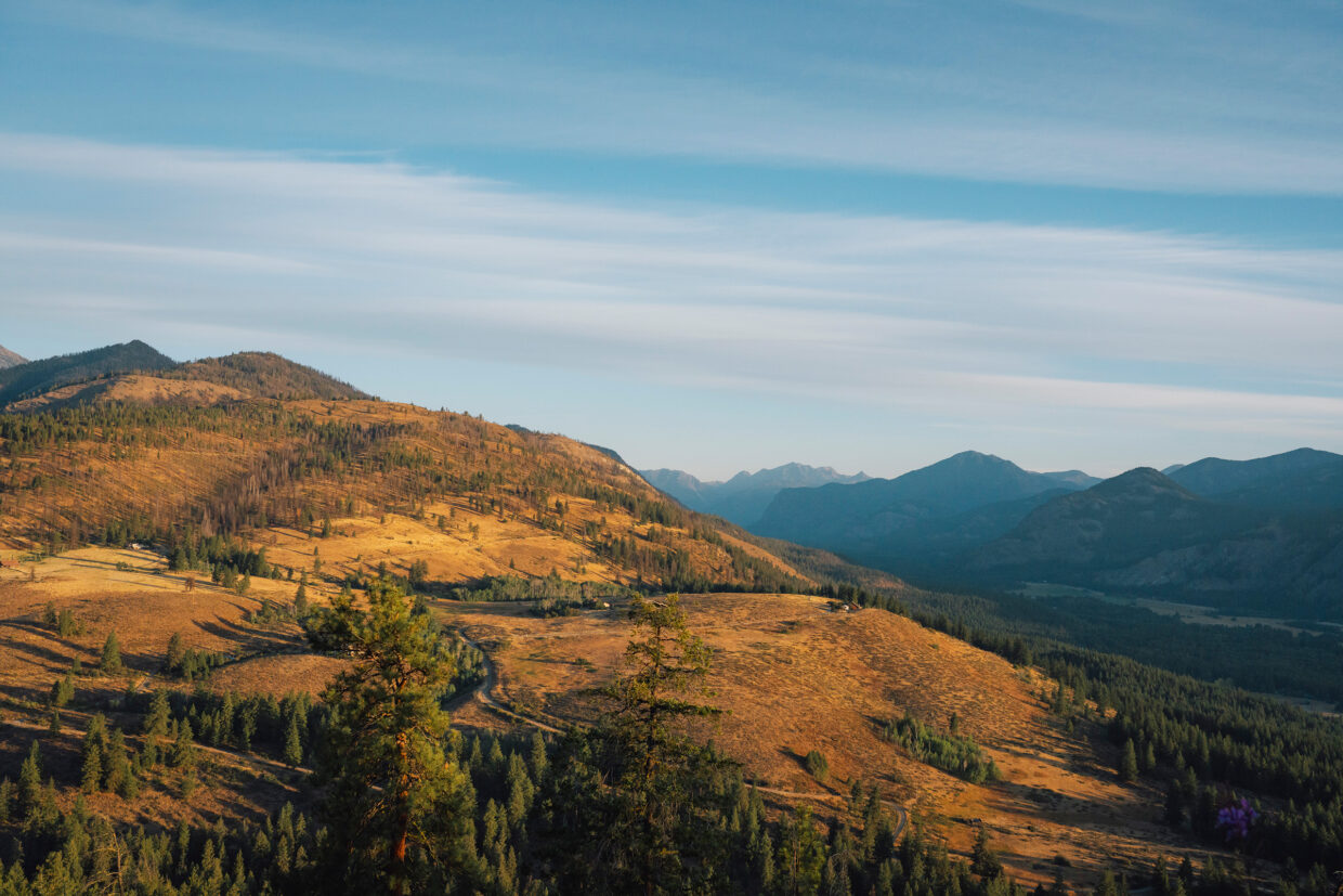
‘Back in Mazama, which is at 600m, there is evidence of scoured glacial marks with almost 1,600m of ice above it – almost a mile. It blows my mind. That volume and that weight was moving, grinding, advancing, receding.’
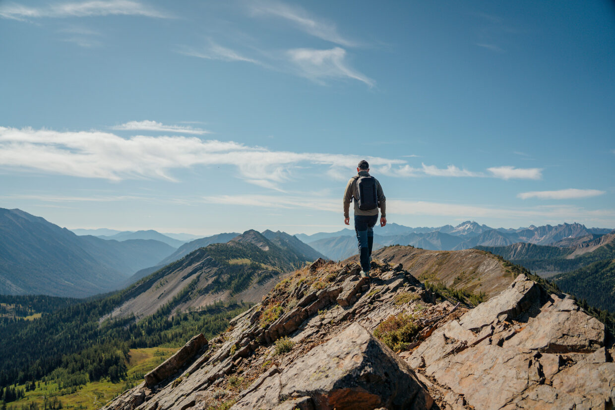
We stop, now above the treeline with vast views over the mountains. ‘Notice how this ridgeline in front of us is rounded on the top, and a lot of the ones in the back are jagged. The ice covered this one and not the jagged one.’
A board identifies the peaks: Three Fools Peak, Golden Horn Peak, Castle Peak, 19 miles away and a mile south of the Canadian border.
He points in the other direction: ‘You’ll see when you’re down at Sun Mountain, every hill was under almost a mile of ice, that’s why the Methow canyons are so flat.’
This ‘recent’ glaciation affects not just the landscapes but also the habitats. It reroutes rivers, forms watersheds, feeds forests and lakes.
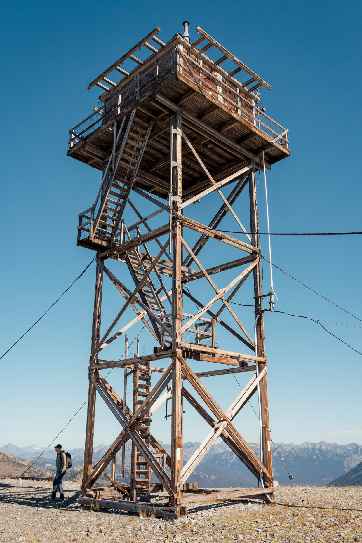
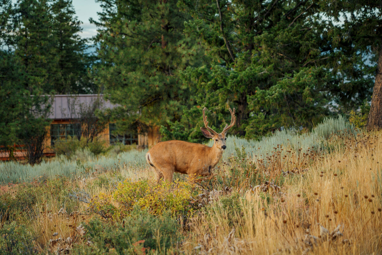
From the Cold War radar station on top of Slate Peak, we look down the Pasayten Wilderness. ‘This is a pretty harsh winter environment,’ Steve says. ‘The hardiest creatures do survive, but there are tens of feet of snow up here, and unless you hibernate like a bear you have got a harsh winter. Deer migrate down to the valley floor and the wolves follow them. Coyotes are generalists, and you can find them anywhere.
‘But the one really fun, charismatic creature that is up here, and rather mysterious, is the wolverine. They are alpine specialists and live up in these high mountain areas year‑round. They are quite fierce, but they rely on the big snowfields, and those are waning, so wolverine habitat is a little tenuous these days. They do a lot of scavenging, eating things that others have killed, but also animals that get caught in avalanches: mountain goats, deer, bighorn sheep, marmots.’
Steve clearly likes the wolverine. ‘A wolverine has really long, violent‑looking claws – long claws for digging, because they dig down into the rock and the ice – and a longish snout for smell; a wolverine can sniff that stuff out from miles away and will travel dozens of miles, up and over topography like this, to reach a food source. They are stocky, because they will go straight up these hills that we pick our way up. They are a real hidden, fierce part of the high mountains.’
He also points out golden eagles we can see high on the thermals on the hunt for ground squirrels and chipmunks. Bald eagles are found in the valley floors, as we’ll later discover, and there are red-tailed hawks, goshawks, and peregrine falcons. Steve is clearly a fan of the latter: ‘They are fast, really smooth. We have watched from up here on these raptor‑migration days in August. You will see a peregrine falcon or a prairie falcon, and they just put their wings back, and they are gone in two seconds flat.’
Steve drops us off at the Mazama Store, and we stock up on sea salt bread before driving to Winthrop – every bit a Western town you’d imagined. I send a photo to my elderly stepfather who loves cowboy films.
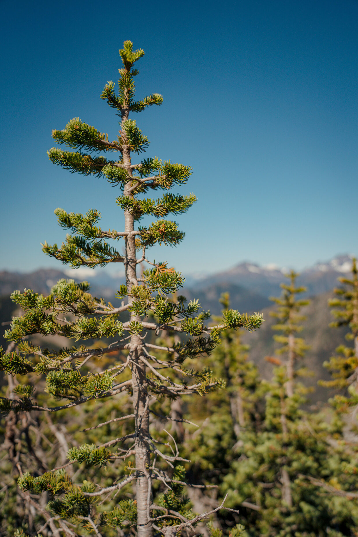
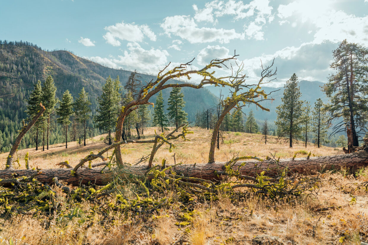
Here we pick up a six-pack and snacks and make the short drive to Sun Mountain Lodge, a remarkable place in the Methow Valley with a ranch, a boathouse for the large lake, and a network of trails. Over the couple of idyllic days we stay there, we explore the 1,500 acres on foot, mountain bike, and kayak. We see bald eagles and learn about the sage bush (it has incredibly deep roots to suck up the little rainwater there is in this arid desert-like environment), and learn about a gnarled Ponderosa Pine, shaped by winds.
That evening, we turn out attention to the night skies. We sit in on a lecture about the celestial bodies above us by the Methow Dark Sky Coalition. We learn that our celestial north pole is, just by happenstance, located very close to Polaris – the North Star – but 3,000 years ago a star called Thuban was the North Star, and in 10,000 years it’ll be a star near Vega. And we learn that light pollution not only confuses migratory birds and nocturnal animals, but even plants.
Once it’s properly dark, we head outside with teacher, scientist, and photographer Jack McLeod. He tells us he’s working on two major projects right now. The first is a series on the Milky Way – which, as we chat, we can see sweeping above us in alarming detail. The second is a photographic book on his wife’s garden using macro photography. As a volunteer for the Methow Dark Sky Coalition, he explains confidently about the distance to stars, what a light year means, the constellations and how to photograph them, but it’s all with a sense of wonder. Most of all, it seems, Jack loves being outside.
‘I am looking at those stars right there, knowing that they are all trillions of miles away. The distance and time are beyond incomprehensible, and here we are in our little place in this tiny little spot in the universe.’
He then looks down and points at a tiny plant: ‘This clover right here, this tiny flower, people walk past every single day; it is useful, but it is beautiful too. If you get up close and look, the symmetry and maybe the colours… I just like capturing beauty.
‘It is quite cool because I capture the macro and then I capture what is as big and expansive as you can possibly get.
‘The world is a magical place.’