Brittany – History and Heritage
Sidetracked Uncovered
Written by Daniel Neilson // Photography by John Summerton
From Neolithic menhirs aligned with the sunrise to legends of Korrigans and storm-bringing kings, this region has always been more than a backdrop for cartoon Gauls. Brittany wears its history on the surface, adding depth to any travels in the region.
Perhaps the most enduring image of historical Brittany, one that several generations of Europeans grew up with, is entirely two-dimensional and largely fictional. It is through the eyes of a ‘shrewd, cunning little warrior’ called Asterix and his best friend, a big-hearted menhir sculptor and deliveryman, called Obelix.
‘The year is 50 BC. Gaul is entirely occupied by the Romans. Well, not entirely… One small village of indomitable Gauls still holds out against the invaders.’ This is how most Asterix titles begin, the words written under a large map of France. On the same page, under a magnifying glass in the north-west of the country, is a Gaulish village – home of Asterix and Obelix, surrounded by fortified camps manned by Roman legionnaires. The map reads: Armorica, the Latin name for Brittany.
Now, we don’t want to reduce the complex history of an entire region, an entire people, an entire culture to two lovable cartoon figures drawn by an author with a keen sense of stereotyping for comedic effect, but René Goscinny and illustrator Albert Uderzo’s books continue to endure. No wonder the books sold in bewildering numbers. The ninth book, Asterix and the Normans, sold 1.2 million copies… in two days. In 2023, 393 million copies of Asterix titles had been sold.
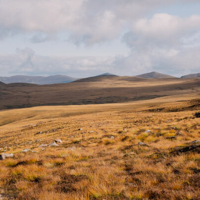
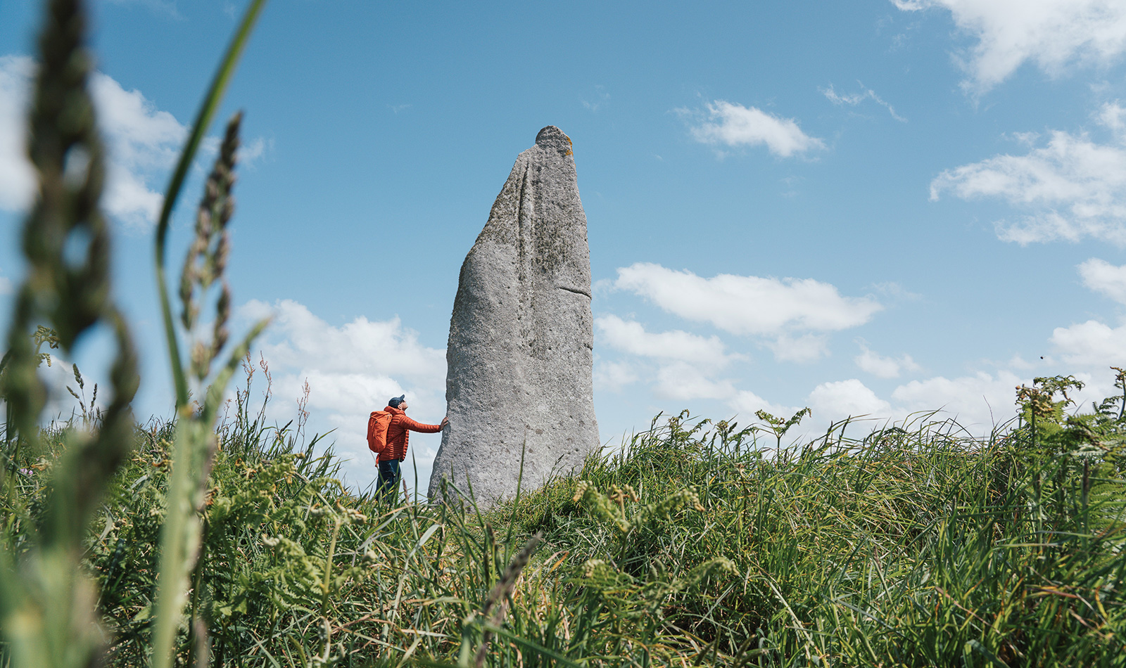
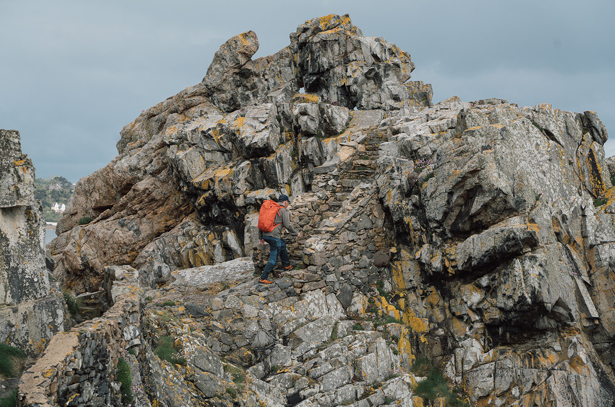
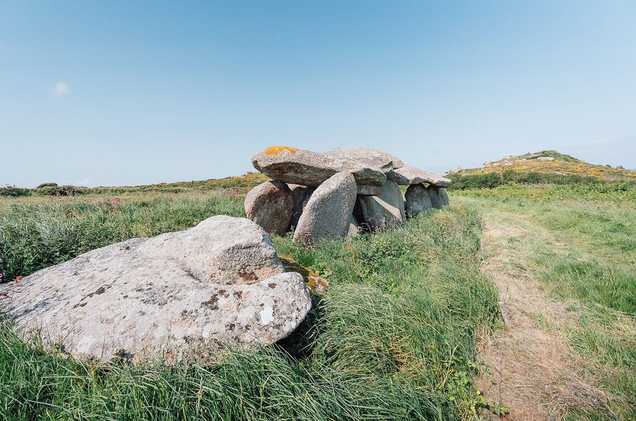
Travel to Brittany today and its layers of history, from the time of the Gauls and Armorica, are readily seen. In fact, the megaliths (menhir in Breton) are scattered widely across the region. There are menhirs throughout Europe, but a particular concentration can be found in Brittany, with more than 700 across the region. In 2025, the Megaliths of Carnac and the Shores of Morbihan became the first site in Brittany to be added to the UNESCO World Heritage List calling it an ‘exceptional testament to the technological sophistication and skilfulness of the Neolithic communities’, as well as pointing to the representational engravings ‘of remarkable density’ rarely documented in the megalithic contexts and constitutomh one of the earliest examples of this type in Western Europe. This megalithic landscape has no equivalent in the world for its richness, scale, and diversity. And in Brittany, you can walk up to them, touch them, wonder at the ingenuity needed to raise them, and ponder the cultural mindset that led to their very existence.
Take Menhir de Cam Louis on the Plouescat coast, one of the highest in Brittany, standing 7m high. History hasn’t recorded whether Obelix was the sculptor – impossible, given that most of the menhirs are Neolithic – and in fact, archaeologists have no real idea what the single megaliths were for.
On Île Milliau we saw a passage grave designed so that the first light of the day shines through it. And we’ve already visited the Allée Couverte de Guinirvit in Kernic Bay in our ‘Brittany – From the Water‘ article. At Trébeurden, we spent an enlightening couple of hours on the Circuit des Mégalithes. On a route just 9km long, we visited the Allée couverte de Prajou-Menhir, a gallery grave dating back to 2,000 BC with engravings, including an idol’s breasts and necklace. Also on the route are four additional menhirs. Were they used in druidic rituals? Did they mark burial chambers? Or were they simply territorial markers?
We know very little about the religious rituals or social lives of Neolithic society, but the menhirs have gathered meaning like moss over the millennia. According to one local legend, visit the Menhir de Cam Louis at midnight on Christmas Day and it will reveal a treasure buried beneath it (although presumably someone has already tried this). Every 99 years on a full moon, Korrigans – small fairies – appear from beneath Menhir de Kergallec, near Kerfissien Port, leaving their treasure behind.
LEGENDS OF BRITTANY
Let’s have a riddle. ‘When I’m lying down, they’re standing up. When I’m up, they’re down. What’s that?’
If you find yourself out on the moors late at night, the Korrigans – little mischievous pranksters – will start to sing. A word of advice: don’t join in, or you’ll be living with them for 100 years. The only way to stop the Korrigans is to ask a riddle. Did you get this one? It’s feet!
The Korrigans are just one of the legends that wind their way through Breton culture. There is King Marc’h, or Marc de Cornouaille, is a sinister figure who was once the king of Armorica. He is said to appear before tragic events, particularly destructive storms. Like all good legends, it involves a white horse, a woman, and a wayward arrow; he was particularly feared by mariners who, if seeing the king on the cliffs, would look to the skies for the oncoming torment.

SEAFARING BRITTANY
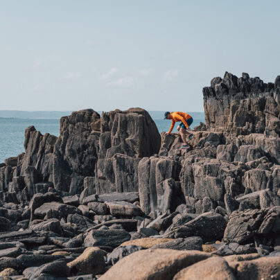
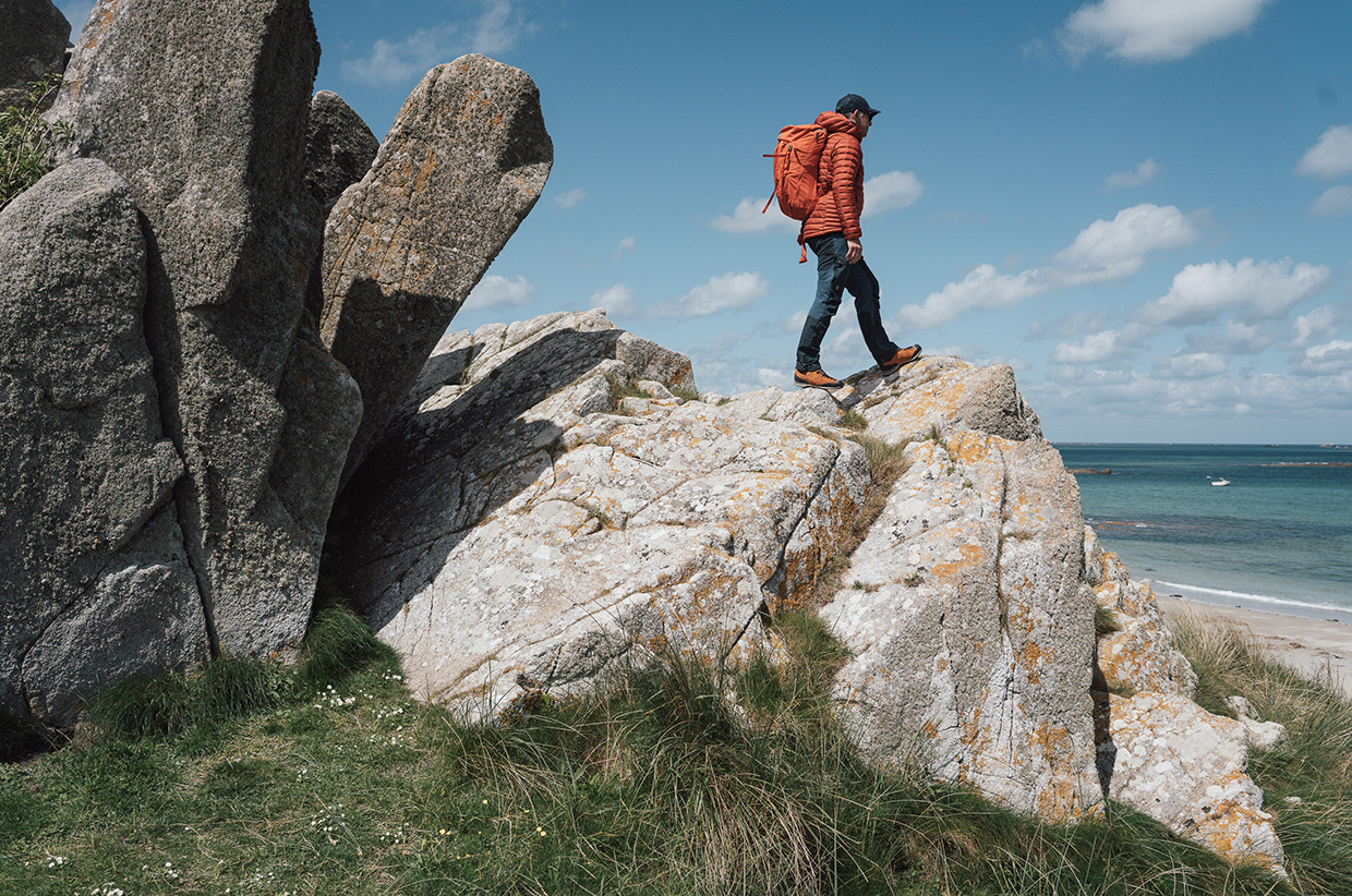
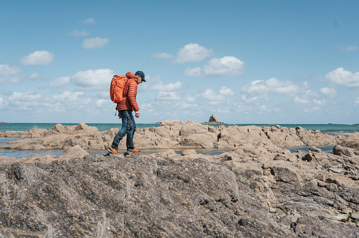
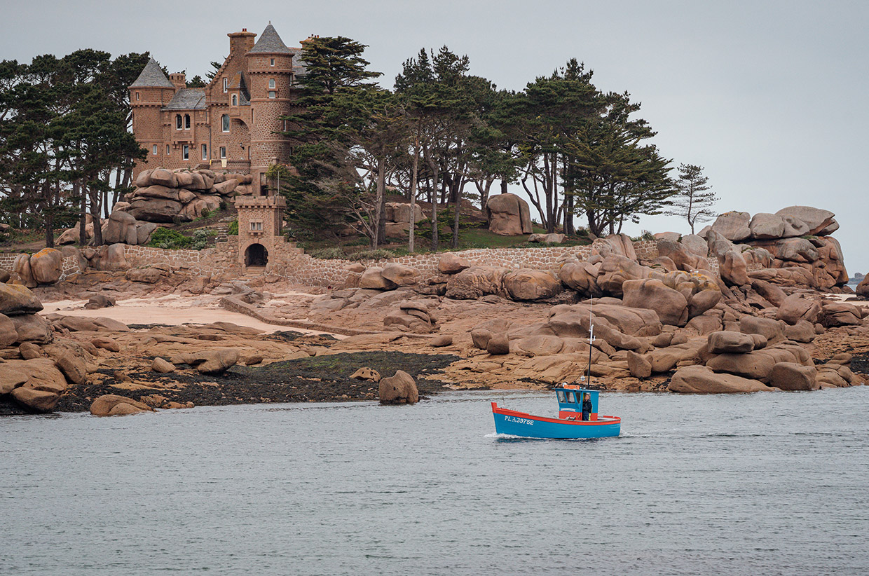
More than anything else, it is the sea that has shaped Brittany, its landscapes and its culture. This peninsula is bordered by the English Channel to the north, the Bay of Biscay to the south, and the Celtic Sea and Atlantic Ocean to the west.
Like much of western Europe, Brittany has been populated since the Lower Palaeolithic era, which stretched from around 3.3 million years ago to 300,000 years ago. This was the world of the Neanderthals. Homo sapiens settled in Brittany around 35,000 years ago, and much later – on the other side of the last ice age – Neolithic Brittany was particularly active, as evidenced by the menhirs scattered around the region.
In 51 BC, the area became part of the Roman Republic, much to the chagrin of Asterix and Obelix. But it was the immigration of Britons, mainly from Devon and Cornwall, that established the indelible link to Britain. More Celtic people came from Britain in the 5th and 6th centuries as waves of Germanic tribes (including Anglo-Saxons) invaded the island. This strengthened the links of the Brittonic languages: Cornish, Welsh, and Breton.
By the Middle Ages, Brittany was the Kingdom of Brittany, fending off Vikings, aligning itself with William the Conqueror, and enduring internal disputes.
Between the 15th and 18th centuries, Brittany was governed as a separate country under the same crown. And this was its golden age. The seas around the peninsula were fertile trade routes between Spain, England, the Dutch Republic, and the ever-expanding French Empire. Brest, Saint-Malo, and Nantes were and remain important seaports.
During the late 19th century, under the Third Republic, the character of Brittany was ripped away. The Breton language was banned. Signs in schools read: ‘Il est interdit de parler Breton et de cracher par terre’ [It is forbidden to speak Breton and to spit on the floor].
Yet, by the beginning of the 20th century, a sense of Breton culture was being revitalised – a trend that flourished in the 1960s and 1970s, with the establishment of bilingual schools and a celebration of Breton. A similar trend took place with Welsh and Cornish across the Channel.

STEPPING INTO THE PAST
Seeing the standing stones, walking the coastline of Brittany, peering into sea caves, you half expect Asterix and Obelix to come bounding out of the bracken, one clutching a boar, the other a freshly carved menhir. They were caricatures, of course, drawn with a wink, yet they did capture something of Brittany’s spirit. It is a region apart, with its own identity, with its own vibrant culture and cuisine.
That indomitable village under the magnifying glass may be fictional, but the resilience, imagination, and identity of Brittany are very real.
![]()
For more information, visit brittanytourism.com // @visitbretagne_official
Words: Daniel Neilson // @danieljneilson
Photography: John Summerton // @johnsummerton