


Augmented reality hits the mountains
Gear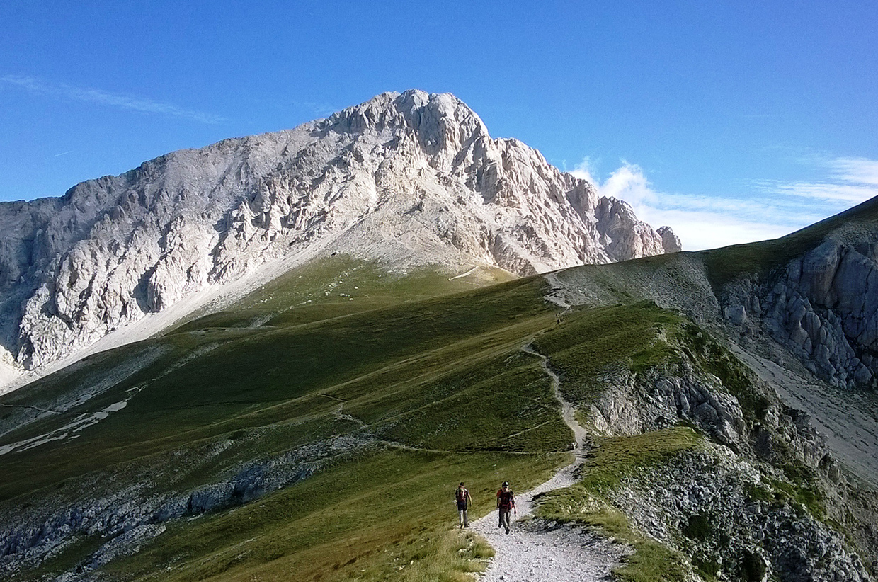
Skyline, a new way to explore the outdoors using augmented reality, has been launched by ViewRanger.
Using augmented reality technology, Skyline uses the camera on a phone or tablet to annotate the surrounding landscape. Designed to help people explore with greater confidence wherever they are, Skyline is free with the latest version of the ViewRanger app. It is available now in the Apple App Store and coming soon on Google Play.
Inspired by Alfred Wainwright’s pictorial guides to the English Lake District mountains which include hand-drawn illustrations of hiking routes, Skyline identifies peaks, towns, lakes, cliffs, bays and glaciers up to 20 miles away through a phone or tablet’s camera and overlays the names across the landscape. When navigating a pre-planned route, waypoints and directional arrows also appear, offering an accurate and enhanced navigational experience.
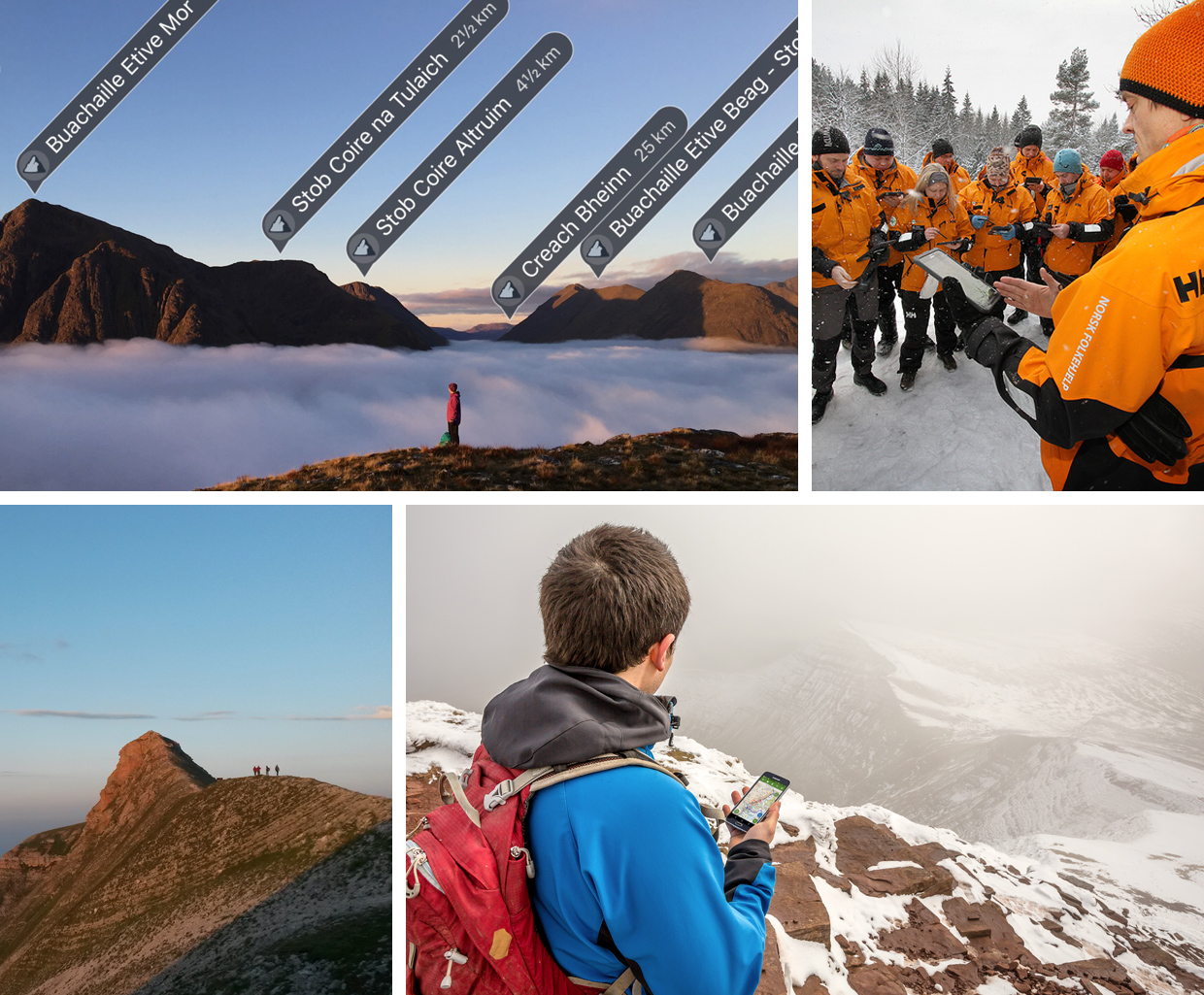
Craig Wareham, ViewRanger co-founder and CEO said: “Skyline tells you what you’re looking at and shows you which way to travel, fundamentally changing the way in which you use maps and how you interact with the landscape around you.
“When we started ViewRanger, our vision was always to place map information directly into the landscape around the user. Now, a little over 60 years since Wainwright’s first guide book for the Lake District fells was published, Skyline makes that a reality. It’s ready for anyone to use on their next walk, hike, bike, or visit to a park.”
To use Skyline, download and launch the latest ViewRanger app update, tap the Skyline button on the map screen, and pan the landscape in the modified camera view to transform your next outdoor adventure.
To find out more visit viewranger.com.