
The Alpe Adria Trail: A Sidetracked Guide
A Guide to the Alpe Adria Trail (Slovenia section)
Written by Daniel Neilson // Film by Mitja Legat // Photography by Katja Jemec
Produced in Partnership with the Slovenian Tourist Board
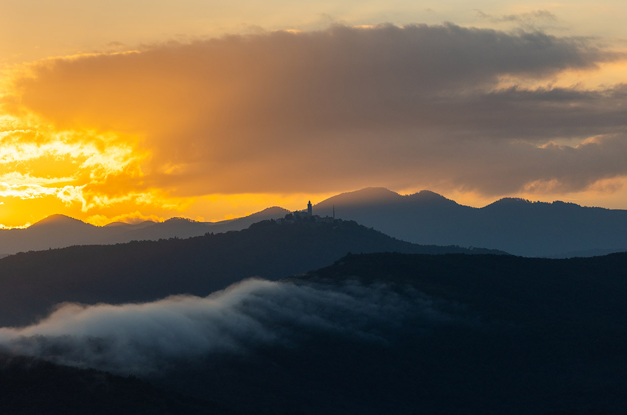
The Slovenian stages of the Alpe Adria Trail are among the most dramatic walking trails anywhere in the Alps. Combine them with sections along the low-lying wine region and you have a diverse and thrilling six-day hike through the best of Slovenia.
The Alpe Adria Trail begins with drama, at the foot of Austria’s highest mountain, the Großglockner. From here, it winds south for 750km, through Austria, Slovenia and Italy, across countless landscapes and topographies, over mountain passes and through vineyards, until it meets the lapping Adriatic Sea at Muggia, just beyond Trieste.
In addition to natural history, it also ties in the echoing thunder of World War I, the ancient folklore of these mountain communities, and the people who live in the villages along the route today.
We wrote and filmed the Slovenia sections of the trail in our story ‘In The Kingdom of Goldhorn’. This guide to the Slovenian stages will help you plan your own adventure. Being modern Europe, the route often crosses borders, and later Slovenian stages pop across the border at Brda (we’ve outlined one in stage 30, which is why there’s a sequential gap). However, the main stages here – numbers 23 to 27 – are around 150km long and could be walked in six to seven days.
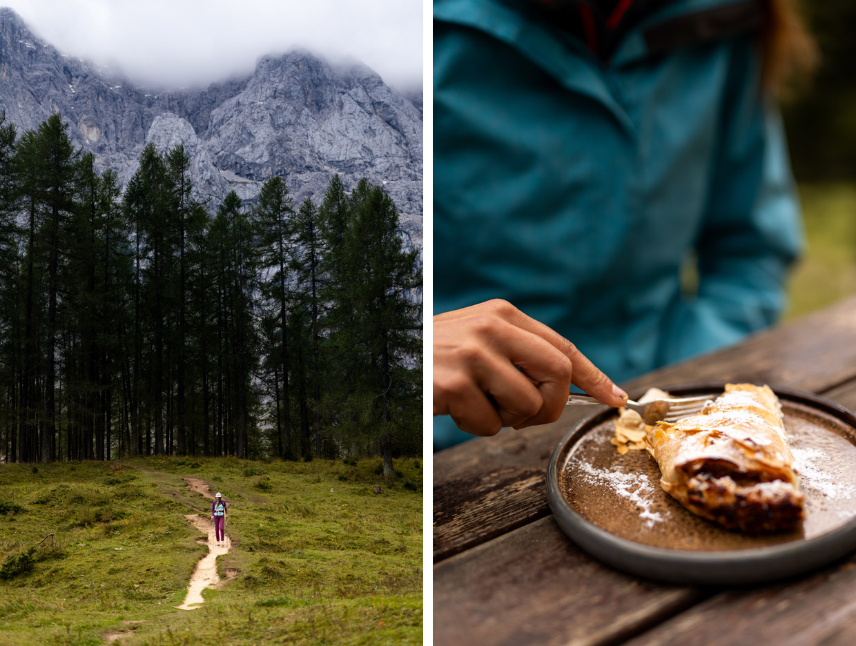
The stages could be split into three acts: mountains, river and wine. Now that’s an appealing triumvirate. The first stages are the most dramatic, passing under Slovenia’s highest and spikiest mountains of the Julian Alps. There are no technical sections of the Alpe Adria Trail, staying relatively low or along the Soča River, but the first stages, through Triglav National Park, weave through forests and over the Vršič Pass.
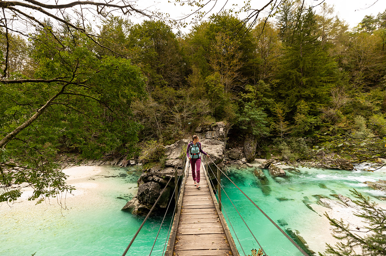
From there, it follows the electric-blue Soča River through Trenta, Bovec, and Kobarid, where wooden footbridges span gorges and remnants of World War I line the forest paths.
And then you’re in the hills of Goriška Brda, Slovenia’s answer to Tuscany. These are days to slow down and drink the local wines of an evening.
The trail also features ample logistics, including accommodation, restaurants, shuttle services, luggage support, and guides. It can all be booked at the Alpe Adria Trail Booking Center.
THE STAGES
STAGE 23: Stage 23: Kranjska Gora to Trenta
Distance: 22.6km • Ascent: 952m • Descent: 1,116m
Climb past World War I memorials to the Vršič Pass, then descend into the Soča Valley. This is the Julian Alps at their most dramatic.
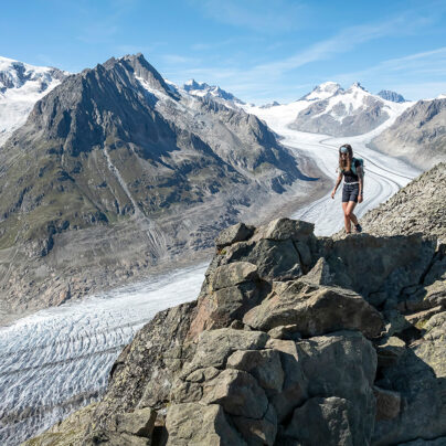
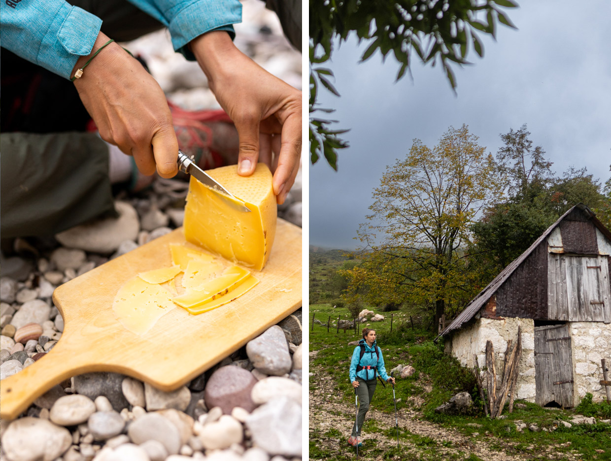
If you walk just one stage of the Alpe Adria Trail in Slovenia, this should be it. It is here you begin to see the scale of the Julian Alps before you, seemingly impenetrable. It is the domain of myth and legend.
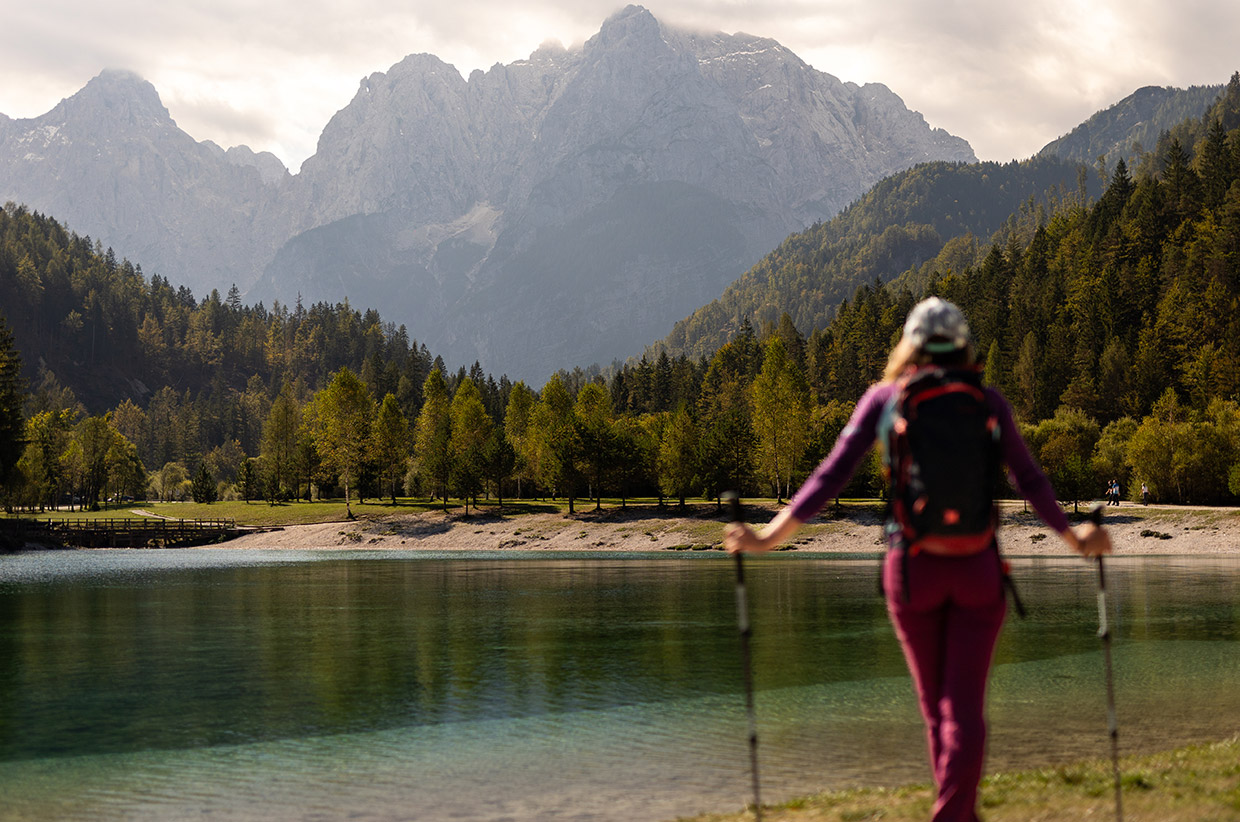
This stage starts in the village of Kranjska Gora, where the lakes of Jasna provide the spectacle of the opening ceremony. Dip your toes in the water – avoiding being nibbled by the trout – and wonder at the views ahead. The path begins under the shade of the forest, before rising through Alpine meadows and alongside the cool Pišnica stream.
Back into woodland, you’ll pass the Russian Chapel, built in remembrance of the prisoners who perished here, and it stands as a quiet monument to the turmoil and violence that this land has seen in its past. You’re now climbing up to the Vršič Pass, once the route of soldiers and porters during World War I.
You leave the cradle of Jasna behind and enter the domain of giants. The path begins with a whisper: forest trails still wet with dawn, a chorus of birdsong, moss-covered stones. But the mountains are watching. They rise slowly at first, then all at once – sharpening around you until you’re funnelled upward through the teeth of the Julian Alps.
Every switchback reveals a new view, distant ridgelines, peaks – often still laced with snow well into May – and clouds racing their own paths across the sky. You may spot a marmot glancing among the scree. In the rock, you’ll see Ajdovska Deklica, the Pagan Girl, petrified in the rock face, and the remarkable Great Prisank Window, a vast hole in the mountain ridge above you.
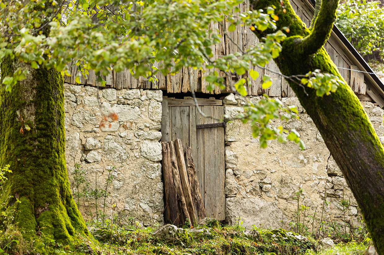
At the Vršič Pass you’ll find refreshment before the Trenta Valley opens up below in its glory. Trenta awaits at the bottom – less a village and more a scatter of alpine homesteads, but home to a good museum. Below the pass, join the distinct markings of the Alpe Adria Trail to the lodge and the source of the Soča River. At the car park, a map demonstrates the way downhill into the valley along the Soča – the river a remarkable sapphire shade beside you, its song ringing in your ears.
STAGE 25: Bovec to Kobarid
Distance: 22.7km • Ascent: 470m • Descent: 386m
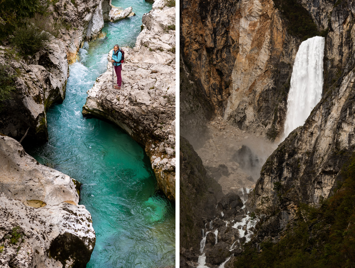
Past the magical Virje Waterfall, the 106m Boka Waterfall, through forest trails and over alpine pastures to the culinary hotspot of Kobarid.
Leaving Bovec, the path climbs steadily through pinewoods and pastureland. The Soča is still with you, though quieter now, deeper in its gorge. At one point, the route passes near the Virje Waterfall. Take time to stop here for a drink. When in spate, it roars, splashing the far shore.
Farther along the trail, you’ll see the 106m Boka Waterfall. Follow the route to the look out which, although some distance from the bottom of the falls, still appears incredible in its size. Following the Soča River, now wide and often green, you’ll likely pass rafters and kayakers who swarm to this section for its rapids. The route winds around Polovnik mountain and after a brief ascent into the mountain village of Drežnica, below the Krn Mountain.
Drežnica is a deeply cultural place, known for its namesake masks used in the region’s carnival heritage dating back hundreds of years.
The endpoint for this stage is another 5km beyond Drežnica at the town of Kobarid. The fields around Kobarid were also the scene of vicious fighting during World War I as part of the Isonzo Front. Kobarid Museum is unmissable and tells the story of mountain warfare. There’s also an insightful historical walk around the town. Today, Kobarid is a place of gentle evenings and excellent food.
STAGE 26: Kobarid to Tolmin
Distance: 22.1km • Ascent: 761m • Descent: 1,105m
Follow the Soča through farmland and tranquil mountain settlements.
After the drama of the previous few days, this stretch offers a gentler rhythm. The trail from Kobarid to Tolmin winds through meadows and mountain villages – and offers the time to enjoy it. Take time to stop for coffee and enjoy the slower pace of life. However, the echoes of World War I are still here in the former battlefields.
The villages of Krn and Vrsno, the latter the birthplace of the famous Slovenian poet Simon Gregorčič, are set among the alpine pastures below the mountains.
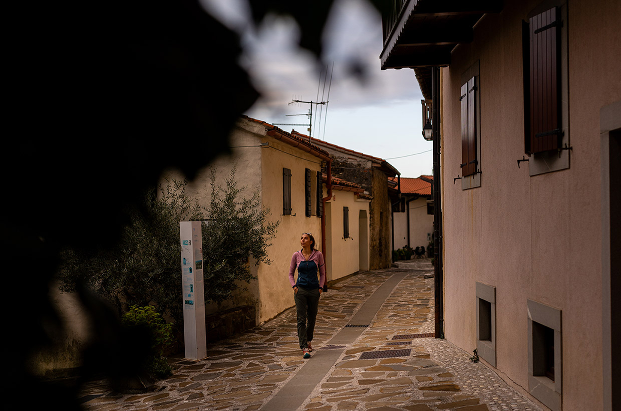
As you approach Tolmin, you begin to notice the river again; it’s where the Soča and Tolminka rivers meet. Tolmin is a small, friendly town, upbeat and busy after the previous few days. The Museum of Tolmin is good for a bit of context of the area. Worth a detour are the Tolmin gorges.
STAGE 27: Tolmin to Tribil di Sopra
Distance: 19.4km • Ascent: 840m • Descent: 1,103m
Walk through the vineyards of Brda. Hilltop villages and sweeping views welcome you into the borderlands.
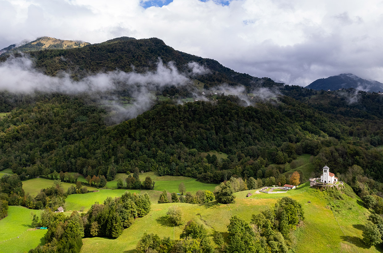
This is the final complete stage in Slovenia before it crosses the border into Italy. You leave Tolmin and head west, away from the river, and towards the ridges of the Goriška Brda. Here the mountains give way to gentle hills of vineyards and olive groves.
The trail here is particularly beautiful early in the morning or as dusk falls. The views are vast, particularly from Kolovrat. You can see the Julian Alps from whence you came and forward to the Adriatic, where you could continue your Italian journey.
This stage is also a lesson in history. To commemorate the vicious fighting between Italian and Austro-Hungarian troops at Kolovrat is the ‘Poti miru’ (path of peace), an open-air museum of sorts, with fortifications all the way along the path to Tribil di Sopra. The border appears without fanfare, as befits two modern European countries. The town is distinctly Italian, however, with terracotta roofs and a different menu in its restaurants.
STAGE 30: Breg pri Golem Brdu to Šmartno
Distance: 26km • Ascent: 744m • Descent: 672m
Back into Slovenia and through the wine region of Goriška Brda.
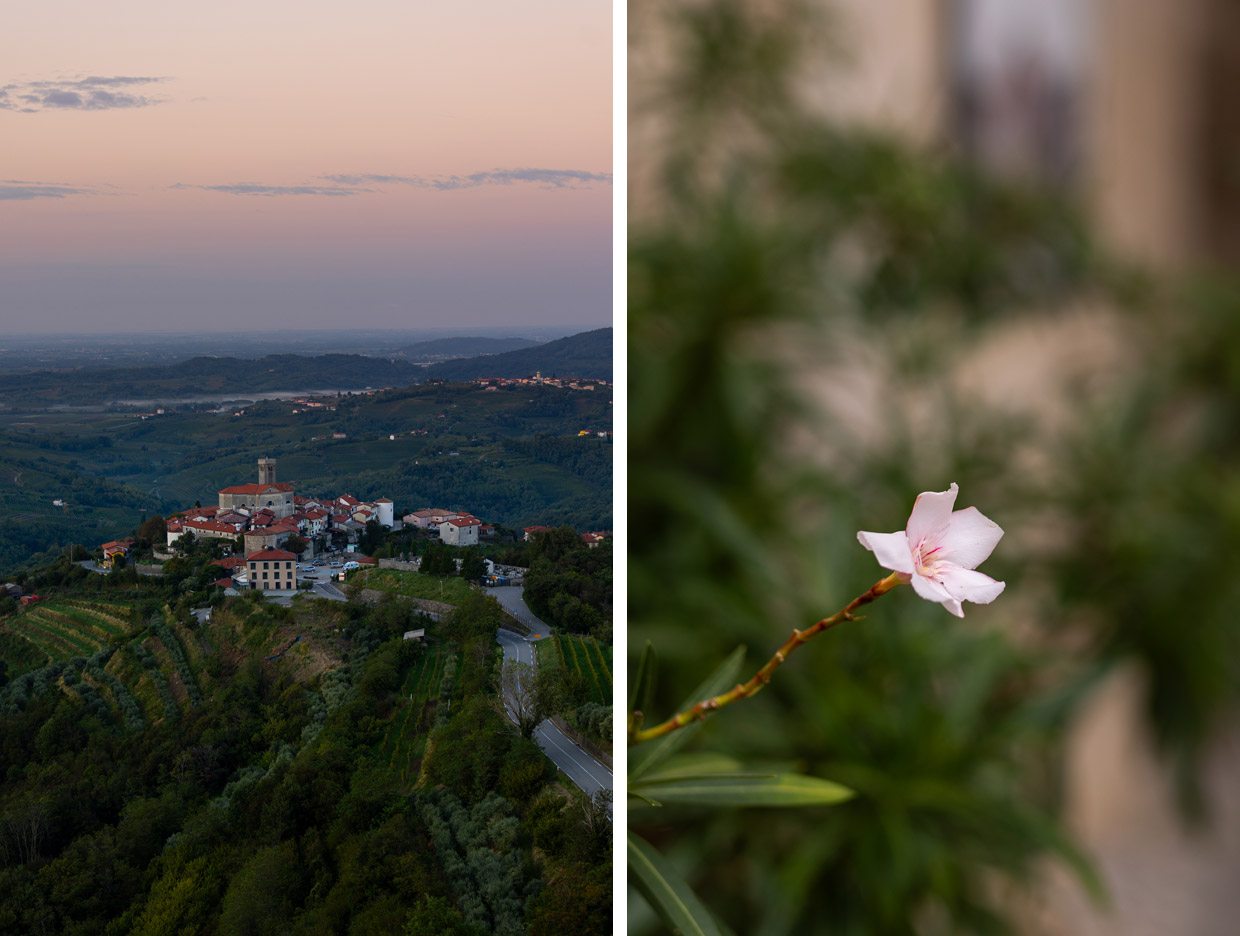
From the top of the 23m-high Gonjače observation tower, the hills that are home to the vineyards of Goriška Brda – Slovenia’s secret Tuscany – can be seen far into the distance, over the hills and towards the Adriatic. The route that begins in the village of Breg pri Golem Brdu often walks you alongside trellised vines or through olive groves, stopping at the villages of Vrhovlje pri Kožbani, Fojana, and Dobrovo. This section is about slowing down and stopping for a glass of local wine while sitting around an old barrel. You’ll also pass the Krčnik natural rock bridge that crosses the gorge over the Kožbanjšček River. Šmartno is the highlight, a preserved hilltop village wrapped in stone walls, ochre rooftops, and balconies replete with flowers. The Gonjače is in the next village along.
GOOD TO KNOW
How to book accommodation
The best way to book accommodation is through the Alpe Adria Trail Booking Center. Through it, you can book a complete package including accommodation (at three levels), shuttle service, luggage transport, guides, travel insurance, and restaurants.
Best Time to Visit: The trail is forgiving, and mostly relatively low lying. It could be walked any time between April and the end of September, but keep an eye on the website for trail news and ask locals along the way.
Fitness Level: This is a route for walkers who can comfortably cover 25km a day. There are steep, mountainous sections, especially in the first stage.
Navigation: Apps, maps, and GPS downloads are available here.
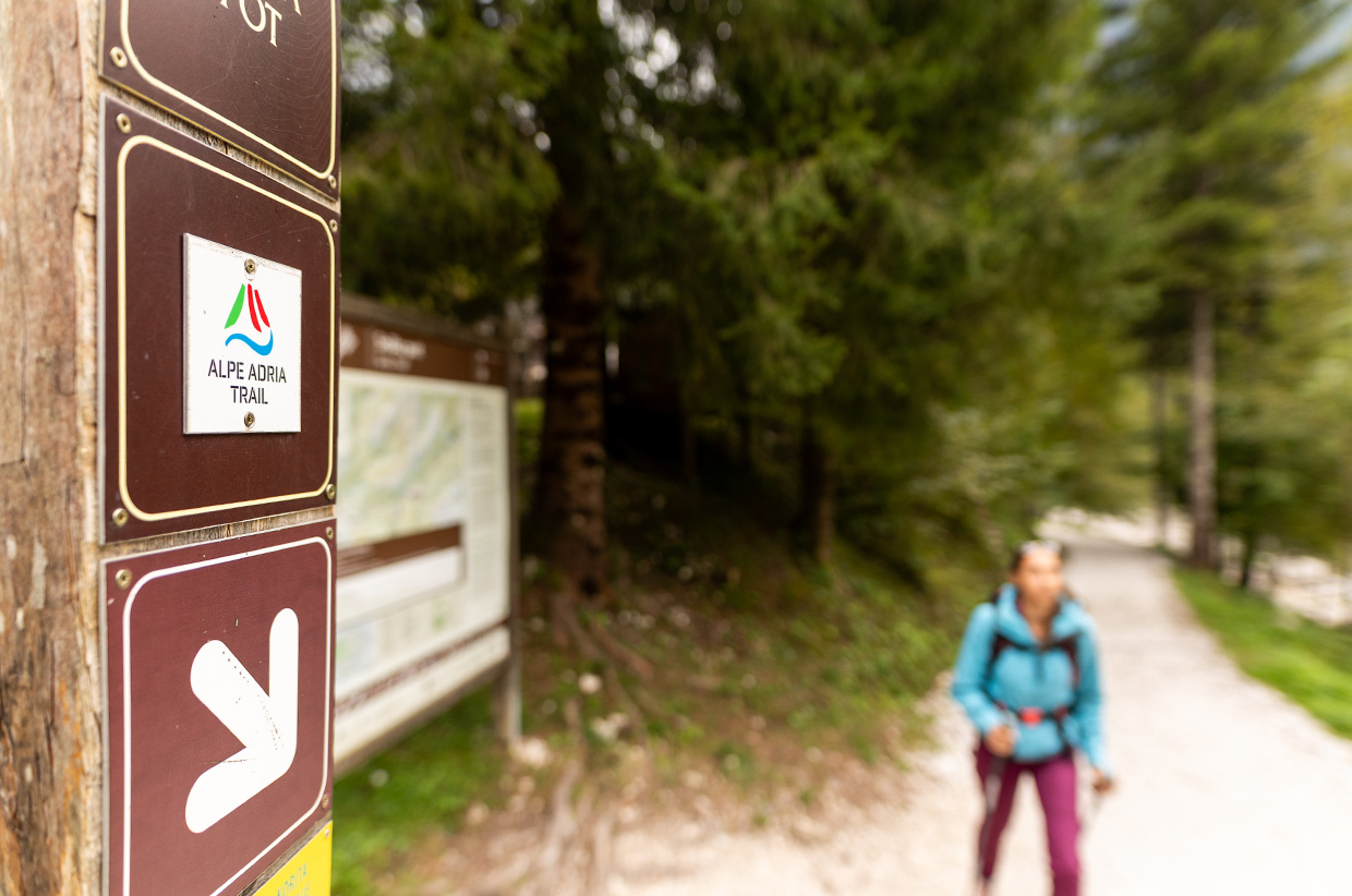
Skill level: You’ll need a map, but the route is very clearly marked, whether with fingerposts or trail markers painted on rocks. There are some narrow paths and a high mountain pass, but nothing exposed or technical.
Trail conditions: Trail conditions are usually good, but keep an eye on stage news.
SUGGESTED KIT LIST
Clothing: Layered clothing suitable for variable weather conditions, including a waterproof jacket.
Footwear: Sturdy shoes with good grip.
Hydration: Hydration pack or water bottles. It is easy to collect more water on the trail in villages.
Navigation: Detailed map of the route, and download the app. The route is waymarked.
First aid kit: Basic first aid supplies for minor injuries.
Snacks: High-energy snacks to last four hours.
Sunscreen and sunglasses: To protect against sun exposure at high altitudes.
Evening wear: Comfortable clothes for evenings in hotels or guesthouses.
READ THE FEATURE STORY FROM THIS ROUTE »
Produced in partnership with the Slovenian Tourist Board // slovenia.info // @feelslovenia
For more information about the Alpe Adria Trail visit alpe-adria-trail.com // @alpeadriatrail
Written by Daniel Neilson // @danieljneilson
Photography by Katja Jemec // @katjajemec
Film by Mitja Legat // @legitfilms